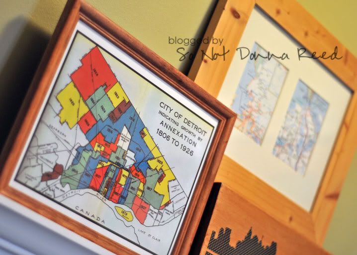
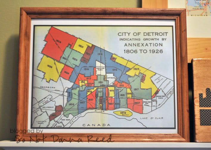
I mentioned a while ago, when I made this project that I was wanting to put together a grouping of {Detroit} items to display. The more I thought about it, the more I wanted to use a map of some kind....something unique and different...and vintage-y.
Unsure of where to start, I did what any truly resourceful person would do. I Googled. ;) I did an image search for "Detroit Maps" and was thrilled with what popped up. Maps of everything from voting districts to zip codes to railroad companies to a charming little map detailing the areas effected by the 1920 smallpox outbreak... I waded through page after page of maps until I finally found something I thought was {perfect}.
Now...this particular map doesn't have any visible watermarks, or anything indicating who made the map or where it was found, and it was easily located on a public website. Therefore, I'm working under the assumption that it's not subject to any copyright laws. There were plenty of maps that did have watermarks ~ and most of them were from online shops where one could purchase an original copy of the map. If I had a fancy color printer of my own (it's on my wish list) I could've printed it out on my own and it wouldn't have mattered anyway. I don't have a color printer, so I had to upload the map and order a print of it from a photo lab. They printed it for me, no questions asked.
I brought it home and all I had to do was pop it into a frame...
I'm more than a little happy with how it turned out ~ even if it didn't take a whole lot of work or effort on my part. My {favorite} things about it are 1) it was crazy inexpensive (just the cost of an 8x10 print & the frame) and 2) no one else I know has this particular map in their home. Love it!

Combined with my city skyline piece, and the maps of the hubband's and my favorite places, it makes an interesting little statement in our entry way.
Google your city and see what great old maps you can find!


I love all things maps and these are so cute!
ReplyDeleteKelly