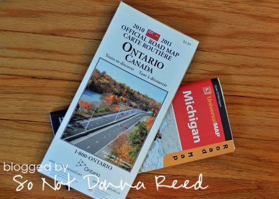
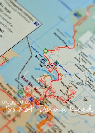
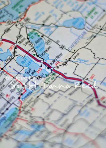
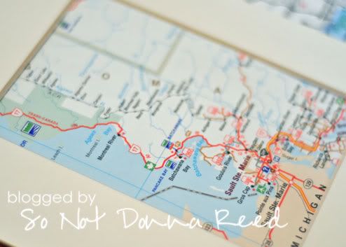
To start off, I picked up a map of Michigan at the store ~ because the hubband's favorite place is Indian River, MI, where his family has been spending time Up North for decades. I didn't have an old Michigan map lying around that would work for this purpose, so I didn't have much of a choice. My own favorite place was a bit trickier. Alona Bay, Ontario isn't on any map. Of course, I knew the general area, and I know which little bay is ours, so I wasn't worried so much about it not being labeled. But....I didn't have a map of Ontario, either. So I got smart. States, provinces, countries....they love tourism. And many places will be more than happy to send you a map for {FREE!} if you look up their tourism department online and fill out a quick request form. That's how I scored the free map of Ontario that I needed for this project.
I started out by pinpointing the areas on the maps that I wanted to use, and determining which section I wanted to have centered in the available area.
I lined up the maps under the mat (which was under $1 at the craft store), and made large, general cuts, so that I could come back later and trim them down to the correct sizes. Better too cut off a little bit and trim off more than to cut off too much and ruin the maps!
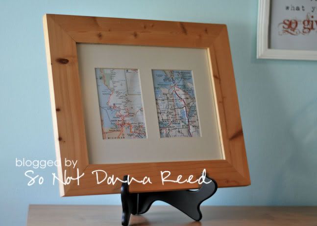
In the end I have a very quick, simple and {not-fussy} bit of map art that the hubband & I are both happy with.
I'm toying with the idea of painting the frame or doing some sort of finish to make it look more weathered a worn, but for now I'm not going to mess with it.


what a great idea!
ReplyDelete